Queen Mary Park
Now the most ethnically diverse community, Queen Mary Park was once farmland and home to an inviting eighteen hole golf course.
Now the most ethnically diverse community, Queen Mary Park was once farmland and home to an inviting eighteen hole golf course.
In 1882, the Dominion of Canada granted the Hudson’s Bay Company (HBC) land reserves around most of its forts in exchange for control of the HBC’s claim to Rupert’s Land. The HBC reserve around Fort Edmonton stretched from 101 Street to 121 Street, and from the river to 118 Avenue, encompassing the entire area of what is now Queen Mary Park. In 1885 a group of businessmen bought forty acres of this reserve from the HBC to establish the Edmonton Cemetery at 107 Avenue and 118 Street. It contains some of Edmonton’s oldest and most architecturally diverse monuments, including the Edmonton Cemetery Mausoleum, completed in 1930. St. Joachim’s Cemetery was located nearby in 1888.
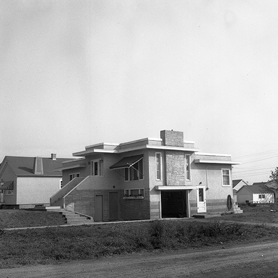
For ten years starting in 1922 Joseph Babish farmed part of the land in the north section of what is now Queen Mary Park. His original farmhouse stands on 111 Avenue near 115 Street. Babish was still farming nearby when the HBC developed a significant portion of its own lands for an eighteen hole golf course in 1930. The Prince Rupert Golf Course stretched from 117 Street to 121 Street, and from 108 Avenue to 113 Avenue. The clubhouse, built in 1940, eventually became the community league’s first hall when the course closed in 1951.
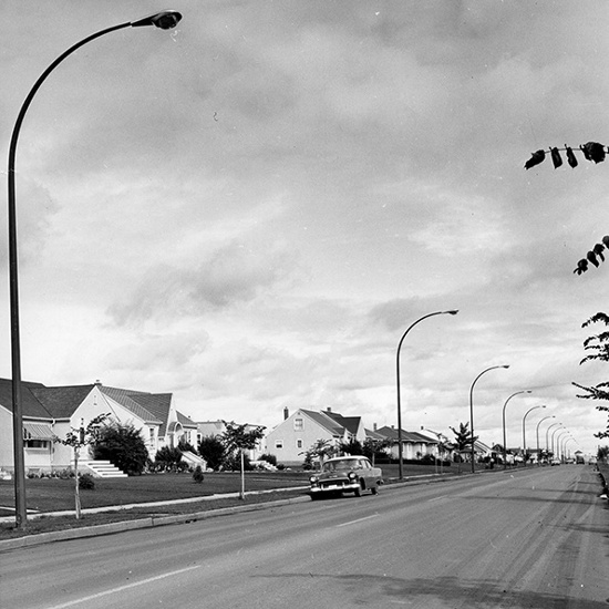
Edmonton experienced a rapid increase in population following the Second World War. To keep up with the demand of returning soldiers and new immigration the city hired Noel Dant as its first full-time city planner. His ‘town planned’ approach to new communities was a departure from the city’s long-established grid system and a direct response to the rise of the automobile. The numerous post-war communities built around the city core in the 1950s are his signature work which became internationally renowned. As such Queen Mary Park - built in 1951 as a result of a land exchange with the HBC - was deliberately planned with restricted entrances to disperse traffic, bungalows, and semi-bungalows looking inward to crescents and cul-de-sacs rather than outward to main thoroughfares. Promoting family life was highly valued by Dant, so central to the neighbourhood is also a shopping centre, an elementary school, and space set aside for recreation. A 1928 caveat applied by the HBC to its unsold lots stipulated that their development be restricted to single family homes; Dant’s plan allotted for 75% single family dwellings and 25% row houses and low rise apartments in Queen Mary Park. Land along the CNR tracks was developed for industrial use. Named after Queen Mary, wife of King George IV and grandmother to Queen Elizabeth II, the entire community is bounded by 105 Avenue, 121 Street, 111 Avenue, and 109 Street.
As the community aged and demand for housing increased in the 1970s and 1980s, a large portion of Queen Mary Park was redeveloped with walk-up apartments, especially in the southern sections behind 107 Avenue. When fire destroyed the community league building in 1994 a new hall was built by engaged citizens who subsequently also rebuilt the playground.
Queen Mary Park has faced the same challenges as other inner-city neighbourhoods. Original homeowners become more well-off and, instead of upgrading aging dwellings, they choose to relocate to newer suburbs leaving properties vacant and emptying schools. Newcomers moved in. Queen Mary Park has the city’s highest concentration of new immigrants, it is the city’s most ethnically diverse community, and one of Edmonton’s poorest. Community action has been positive, however, including the foundation of the Avenue of Nations Business Association for the commercial strip along 107 Avenue between 101 Street and 109 Street, and the installation of community workers to engage with community members.
Details
Sub Division Date
TBA

